
Get neighborhood updates
Check that your home is in the Hospital District, then add your contact information for the newsletter, event dates and anything that affects our streets.
Step 1: Check your address
Type your street address. The check happens on this page; your address isn’t sent or saved anywhere.
Step 2: Sign up
It takes about a minute and keeps the association’s contact list current. No account needed.
Open the sign-up formDistrict map
MacArthur to O’Connor, from the Airport Freeway frontage south past Grauwyler to Lively Pointe Park.
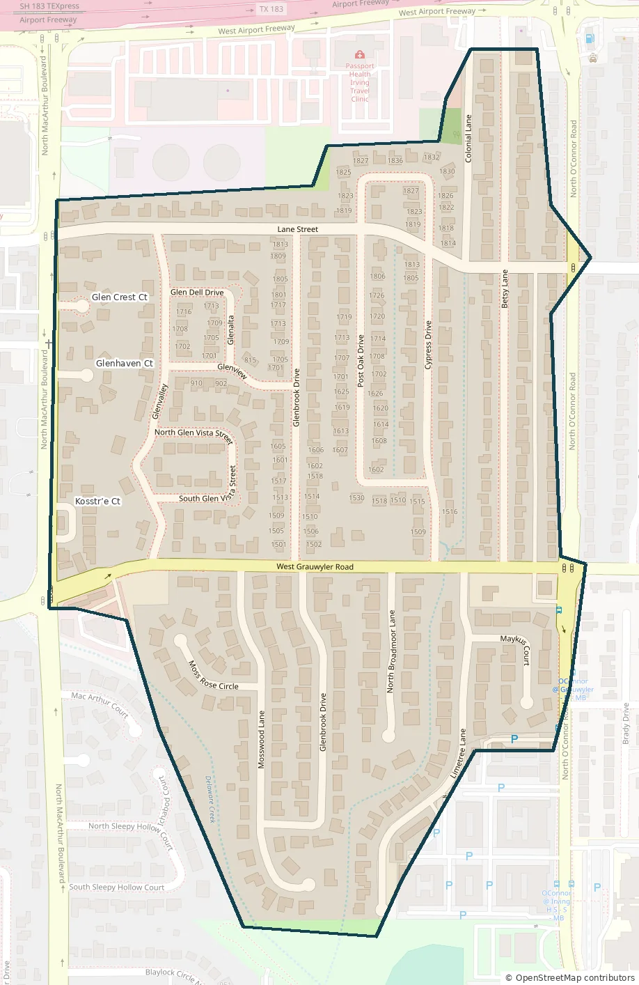
Boundary lines are approximate. If your home sits right on the edge, ask the board.